UTELinspect
Turn every inspection into operational intelligence.
UTELinspect™ gives electric utilities a continuously growing operational record of their infrastructure — bringing asset data, inspection results, imagery, documents, condition assessments and field activity together in one place.
From routine field inspections and drone programs to storm response and major infrastructure initiatives, UTELinspect helps utilities capture what they know today and make that information more valuable tomorrow.
Your infrastructure. Your data. One operational view.
Utilities already generate enormous amounts of valuable information about their infrastructure.
The problem is that it is often scattered across GIS platforms, shared drives, spreadsheets, inspection applications, contractor systems and thousands of digital images.
UTELinspect brings that information together around the asset.
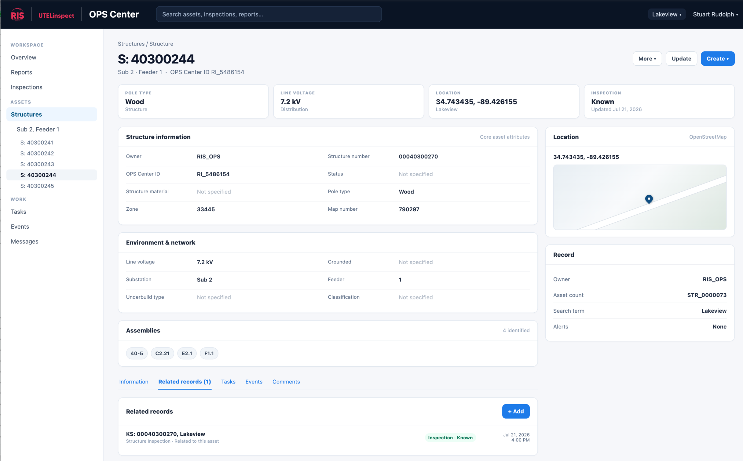
Every pole, structure, line segment, underground asset or other infrastructure object can have a persistent operational record containing:
- Asset attributes and location
- Inspection and condition history
- Photographs and other imagery
- Image annotations and labels
- Engineering and field documentation
- Defects and observations
- Tasks and corrective actions
- Supporting files and records
- A complete history of activity
Instead of producing another inspection dataset that eventually disappears into an archive, every inspection contributes to a growing body of operational knowledge.
From inspection to action
- Capture
-
Collect information from field crews, contractors, drones, aircraft and existing systems.
UTELinspect supports both field and aerial inspection workflows while allowing utilities to continue using the capture technologies and service providers that work best for them.
- Organize
-
Automatically associate imagery, inspection information, metadata and documentation with the appropriate infrastructure record.
Structured data and unstructured information — including photographs, engineering documents and other files — remain connected to the asset they describe.
- Assess
-
Review imagery and field observations, annotate findings, classify conditions and apply your utility’s own nomenclature and assessment standards.
Standardized templates help create consistent information across inspection programs, contractors and inspection cycles — building the data foundation for AI and machine learning applications.
- Act
-
Turn identified conditions into operational workflows.
Based on severity, condition or your established SOPs, UTELinspect can trigger alerts, tasks, tickets and follow-up activities — creating a direct connection between what was observed and what happens next.
- Learn
-
Preserve the results.
Over successive inspection cycles, UTELinspect creates a historical record of how individual assets and infrastructure conditions change over time. That history becomes increasingly valuable for maintenance planning, engineering decisions, risk management and future AI-assisted analysis.
Make your inspection data AI-ready
AI starts with better operational data. Every properly organized and labeled inspection image can become training data.
"You’re already paying for inspections: a few extra minutes spent labeling can multiply that investment later."

UTELinspect provides a structured environment for utilities to centralize inspection imagery, associate it with assets, annotate observed components and conditions, and retain the results over time.
This creates the foundation for applied AI capabilities such as:
- Asset Recognition. Identify utility structures and components within inspection imagery.
- Condition Recognition. Support the identification and classification of known defects and conditions.
- Continuous Supervised Learning. Turn ongoing human inspection and assessment activity into increasingly valuable labeled datasets.
- Temporal Analysis. Compare inspections over time to understand how assets and conditions are changing.
And as datasets mature, utilities can begin looking beyond known defects toward patterns and relationships that may not yet be part of established inspection criteria.
Your inspection program doesn’t just find problems. It builds the data foundation for what comes next.
Built around your utility, not a technology vendor
UTELinspect is hardware-agnostic
Use drones, aircraft, cameras, inspection contractors and field teams that fit your operational requirements. UTELinspect provides the information and workflow layer that brings their outputs together.
Likewise, UTELinspect does not require utilities to replace the systems they already depend upon.
It can exchange information with GIS, asset management, mapping, ticketing and other enterprise systems — including platforms from ESRI, Milsoft, Futura, NISC and others.
Keep the systems that work. Connect the information that matters.
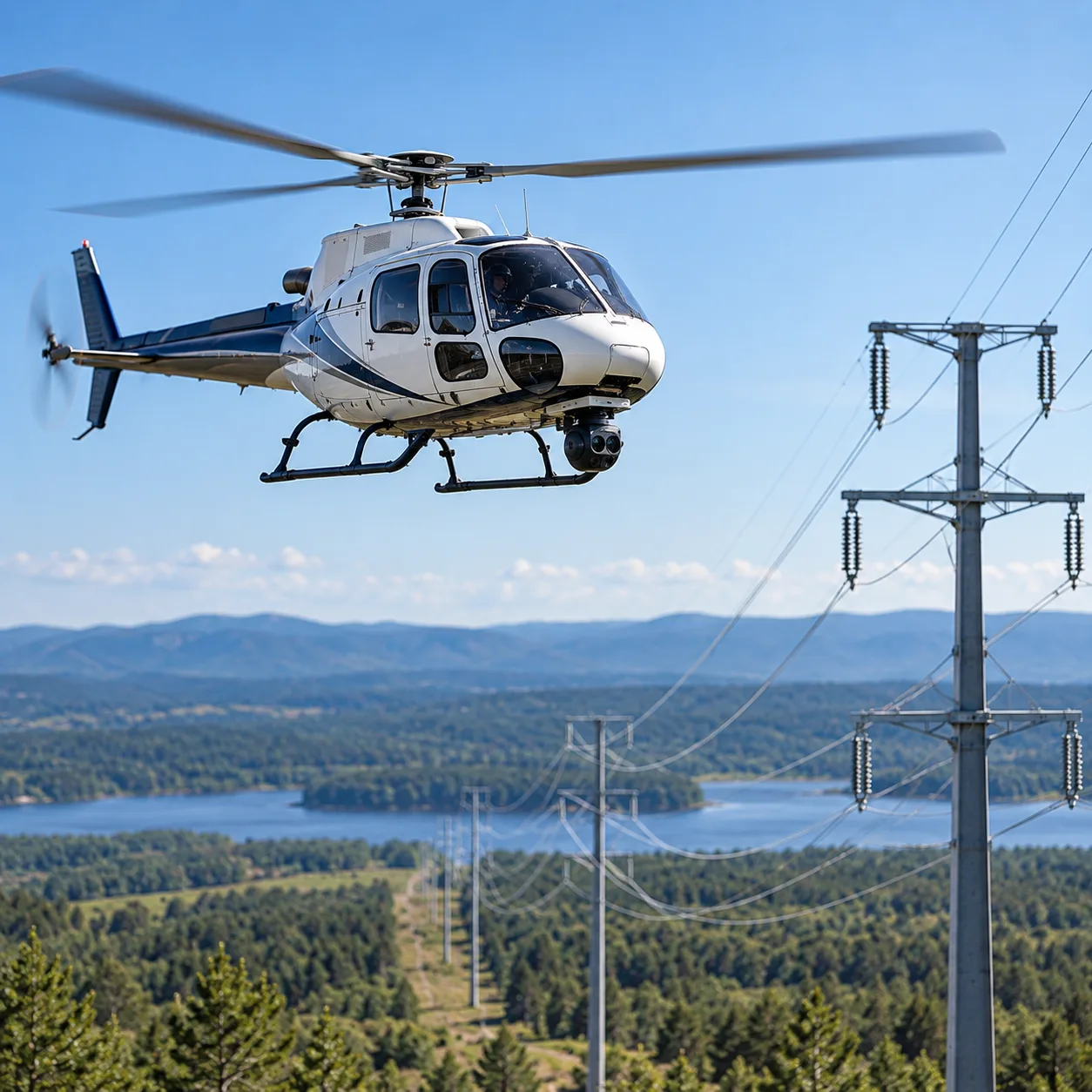
One inspection platform. Multiple operational use cases.
Don't let valuable project information become another archived project file. Make it part of the operational record.
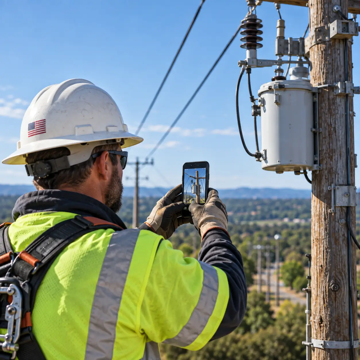
- Routine inspections
- Standardize recurring overhead and underground inspection programs while maintaining complete asset and condition histories.
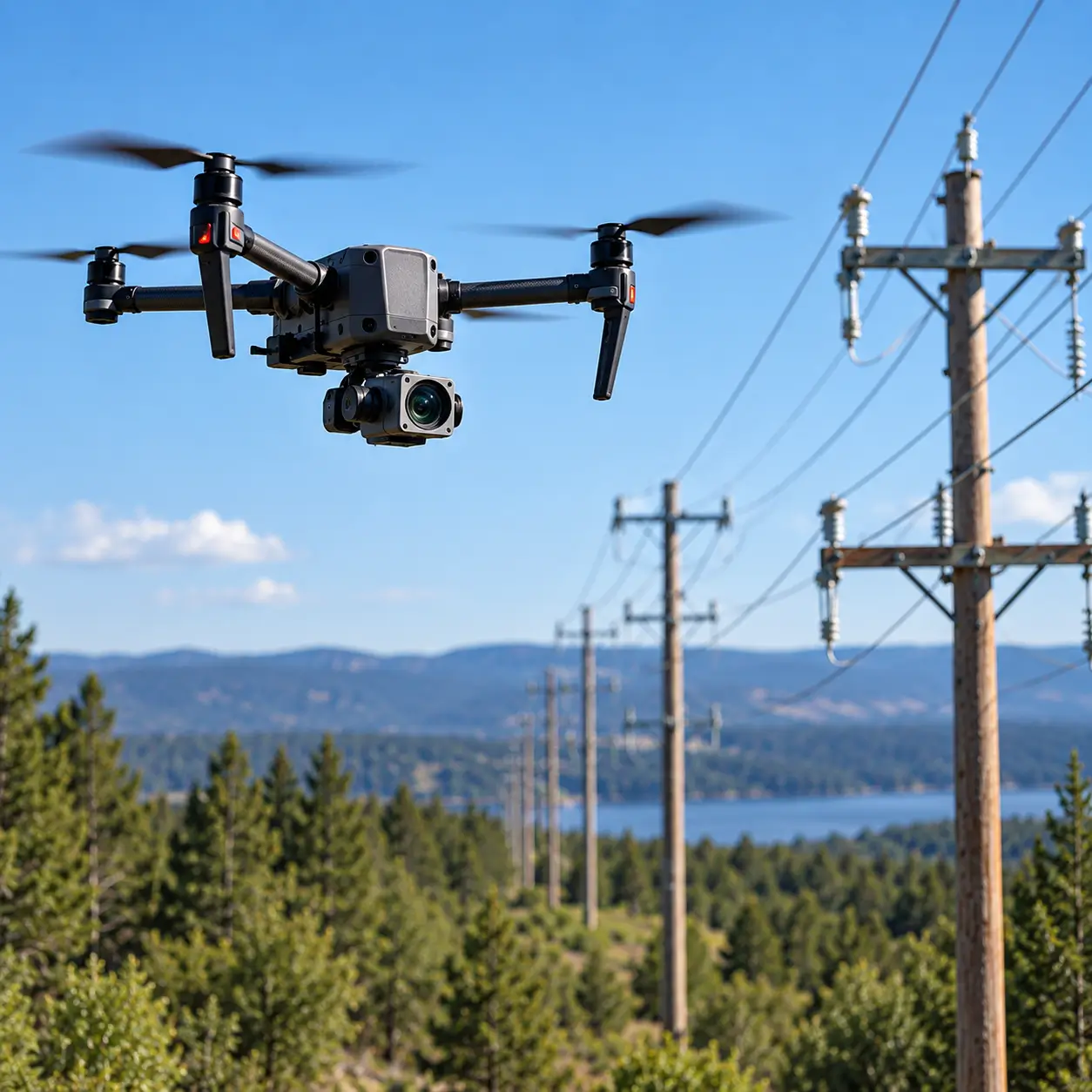
- Drone and aerial inspections
- Manage large image datasets and connect imagery to the structures and assets being inspected.
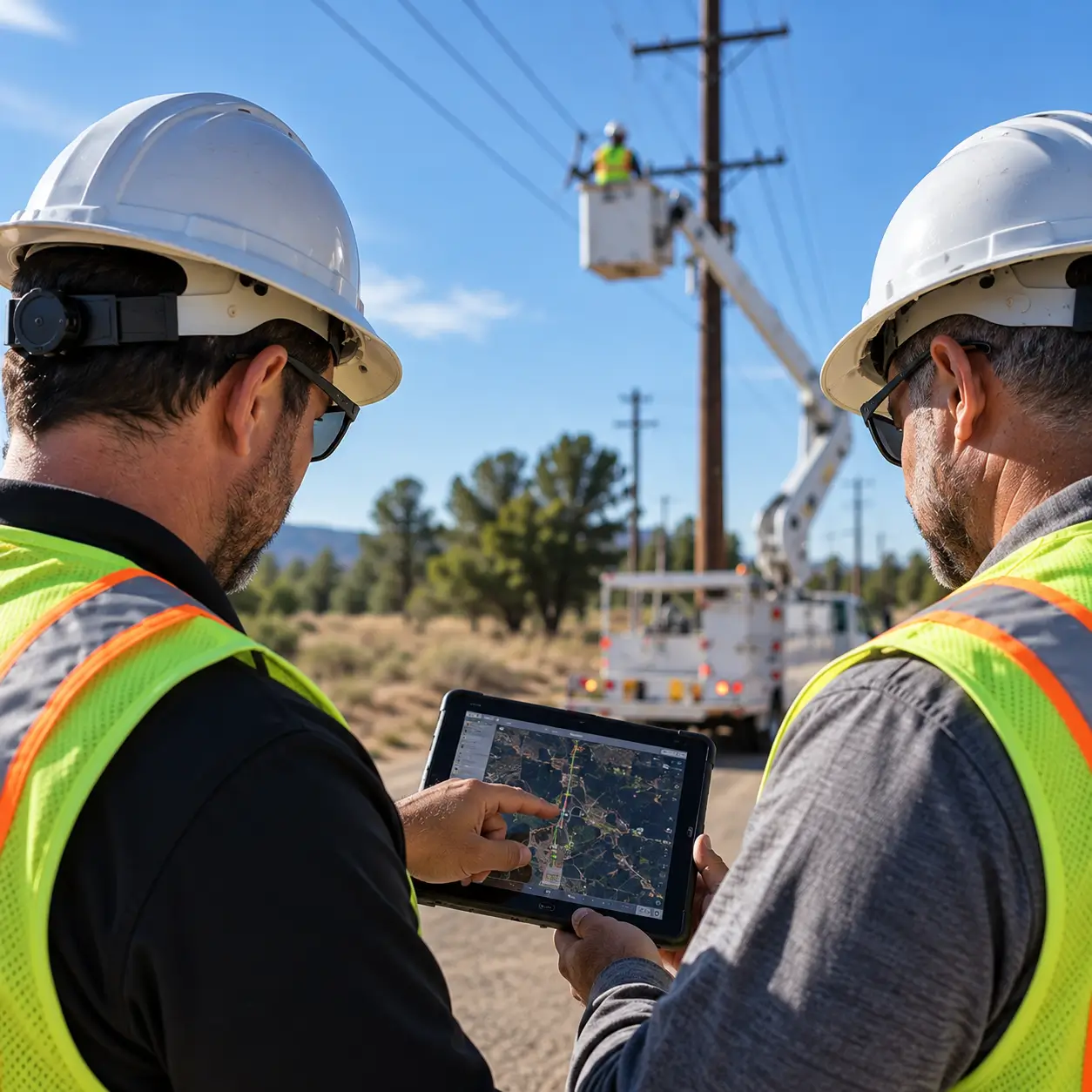
- Contractor inspections
- Give internal teams and external providers controlled access to common workflows, templates and records.
- Storm and damage assessment
- Rapidly capture, organize and report on infrastructure conditions following major events.
- Engineering and construction programs
- Preserve photographs, documentation, field observations and engineering decisions as part of the long-term operational record.
- BEAD and infrastructure expansion
- Use make-ready, permitting, engineering and construction activity to improve the utility's understanding of infrastructure that will remain in service long after the project is complete.
Start with the workflows you need today.
UTELinspect includes configurable templates and workflows designed for rapid deployment.
Start with an inspection program and expand as requirements grow.
- Field and aerial inspection
- Asset and inspection records
- Configurable data templates
- Image management
- Image annotation and labeling
- Condition assessment
- Tasks and ticketing
- Alerts and messaging
- Workflow support
- Smart Reports
- GIS visualization
- Search
- Document management
- User and permission management
- Complete activity auditing
- Data import and export
- API connectivity
- Integration with third-party systems
Build an operational memory of your infrastructure.
The value of an inspection should not end when the inspection report is delivered.
UTELinspect turns inspection activity into a persistent, structured and increasingly valuable record of your infrastructure — helping your teams understand what you have, what condition it is in, what has changed, what needs attention and what happened before.